
On the floor of Kyrgyzstan’s Issyk-Kul, one of the world’s highest and deepest mountain lakes, archaeologists have mapped a drowned medieval settlement with streets, foundations and even fragments of public buildings still in place. The submerged town, hidden for centuries beneath cold, sediment-laden water, is emerging as one of Central Asia’s most evocative windows into life along the Silk Road.
The discovery is reshaping how researchers understand trade, religion and urban planning in the mountains between China and the Middle East. It is also prompting a fresh look at how earthquakes and shifting waterlines can erase entire cities while preserving them almost perfectly for future study.
What recent research revealed about the Issyk-Kul lakebed city
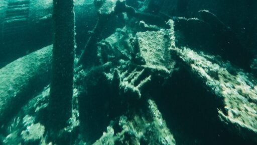
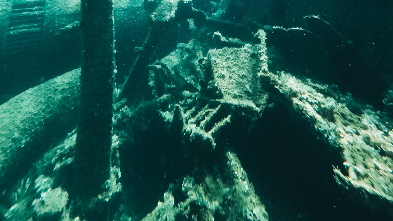
Issyk-Kul has long been ringed by ruins, but systematic underwater surveys now show that parts of a medieval city lie fully submerged along the lake’s northern shore. Using sonar mapping, divers and drone imagery, archaeologists have traced long, straight alignments that match streets and building rows, along with clusters of stone foundations that mark residential quarters and public spaces. The layout reveals a planned town rather than a loose village, with clear axes that once guided caravan traffic and neighborhood life.
According to reporting on the project, the underwater complex includes remnants of fortification walls, the outlines of large halls and smaller domestic structures that together indicate a dense settlement. In several spots, divers have documented sections of paved or compacted road surface that still run between collapsed walls, supporting the idea that intact streets survive on the lakebed. Pottery, metalwork and glass fragments recovered from the area point to a flourishing community with access to imported goods.
Researchers link the site to a medieval center that thrived when Issyk-Kul sat on a key branch of the Silk Road network. The town appears to have combined commercial, religious and administrative functions, serving caravans that crossed the Tian Shan mountains and connected Central Asia with the Chinese interior. Artifacts with Christian, Buddhist and Islamic motifs suggest that the settlement hosted a mix of communities and beliefs, consistent with other cosmopolitan Silk Road hubs.
Geophysical studies and stratigraphy indicate that a powerful earthquake destabilized the shoreline and contributed to the city’s submergence. Sediment layers show rapid inundation, with collapsed masonry buried under lake deposits rather than eroded away on land. This pattern fits accounts of seismic activity in the region and helps explain why so much of the street grid and building footprint remains legible despite centuries underwater.
Some accounts describe the find as an “Atlantis-like” discovery, emphasizing the rarity of a medieval city preserved in situ beneath a large inland lake. Coverage of the Issyk-Kul work highlights how divers have traced the outlines of entire quarters within what one report calls an archaeological discovery that spans a significant stretch of the northern shore.
How a drowned Silk Road hub changes the story of Central Asian history
The Issyk-Kul lakebed city matters because it anchors written and oral accounts of a thriving medieval crossroads in hard physical evidence. Historians have long suspected that major caravan towns once ringed the lake, but many surface ruins are fragmentary, reused or heavily eroded. The underwater settlement, by contrast, preserves an urban blueprint that can be read almost like a frozen map of daily life.
Excavations and survey data suggest that the town functioned as a commercial hotspot, with warehouses, caravanserai-like compounds and religious structures serving traders who moved silk, metal, ceramics and livestock across the region. One analysis describes the site as a medieval hotspot on the Silk Road that lost its position after a destructive earthquake. That framing places Issyk-Kul alongside better-known hubs such as Samarkand and Kashgar, but in a mountain-lake setting that had seemed peripheral in many older narratives.
The religious material from the site is equally significant. Crosses, church-like foundations and Christian iconography suggest a strong presence of Nestorian communities that were active along Central Asian trade routes. At the same time, Buddhist and Islamic elements point to overlapping congregations and shared spaces. This mix supports a picture of Issyk-Kul as a meeting point of doctrines as well as goods, where merchants and missionaries moved along the same roads and sometimes lived in the same quarters.
Urban planning details add another layer. The alignment of streets, placement of public buildings and apparent zoning of residential, commercial and sacred areas show that medieval authorities invested in structured growth. The town’s design indicates awareness of both caravan logistics and local environmental constraints, such as seasonal water levels and mountain runoff. Comparing this plan with other Central Asian cities could refine models of how trade, climate and politics shaped urban form across the region.
For Kyrgyzstan, the find also carries cultural and political weight. The country has often been cast primarily as a landscape of nomadic pastures and alpine valleys. A substantial medieval town beneath Issyk-Kul provides a vivid counterpoint, highlighting a sedentary, mercantile chapter of local history that can complement nomadic heritage rather than replace it. The site offers a tangible link between Kyrgyz territory and the broader story of Eurasian exchange.
On a global level, the discovery strengthens the case for underwater archaeology in lakes, not just seas and oceans. Inland waters are less affected by tides and large storms, which means that in some cases they can preserve ruins with extraordinary clarity. Issyk-Kul’s cold, relatively deep water appears to have slowed biological decay and human disturbance, turning the lake into an accidental archive of medieval architecture and urban design.
Future research, tourism pressures and the fight to protect Issyk-Kul’s hidden city
The next phase of work at Issyk-Kul will likely revolve around detailed mapping, selective excavation and careful conservation. Archaeologists are already using multi-beam sonar, side-scan imaging and photogrammetry to build high-resolution 3D models of the submerged streets and buildings. These digital reconstructions can guide limited physical digs, help interpret the city’s growth over time and allow virtual access for researchers who cannot dive.
Future studies are expected to focus on several questions. One is chronology: pinning down exactly when the town was founded, when it reached its peak and how quickly it declined after the earthquake. Another is function: distinguishing between residential blocks, commercial warehouses, religious compounds and administrative buildings through targeted sampling of artifacts and soil chemistry. A third priority is environmental history, including how changes in lake level, river inflow and seismic activity interacted to drown the city.
There is also growing interest in how the site might connect with nearby terrestrial ruins and burial grounds. If archaeologists can link the underwater settlement to known necropolises or hilltop forts, they could reconstruct a broader urban landscape that included satellite villages, agricultural zones and defensive outposts. That regional picture would help explain how the Issyk-Kul basin supported a trading hub of this scale.
At the same time, the discovery is likely to attract tourism and commercial attention. Issyk-Kul is already a major resort destination within Kyrgyzstan, with beach hotels, guesthouses and tour operators clustered along the shore. A medieval city on the lakebed offers a powerful new marketing hook, from glass-bottom boat tours to museum exhibits built around recovered artifacts. If managed carefully, this interest could bring funding for research and conservation, along with jobs for local communities as guides, conservators and hospitality workers.
The risk is that uncontrolled development could damage both the underwater remains and the wider lake environment. Increased boat traffic, construction along the shore and unregulated diving could disturb sediments that currently protect fragile structures and organic material. Pollution and shoreline erosion might also accelerate deterioration. Heritage managers will need clear rules on where boats can anchor, how close new buildings can come to sensitive zones and what kinds of recreational diving are allowed.
One promising path involves investing in onshore interpretation rather than mass underwater access. High-quality visitor centers, detailed models and immersive digital displays can give tourists a sense of walking the medieval streets without putting pressure on the ruins themselves. Partnerships with universities and international research institutes could support this approach, combining scientific expertise with public outreach.