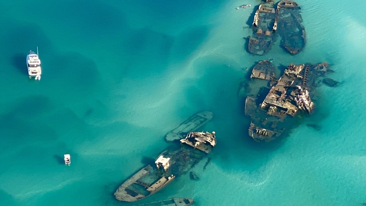

Sonar scanners tracing the floor of Lake Union have revealed something divers long suspected but could never fully map: a dense cluster of wrecks that functions like a submerged neighborhood of lost boats. More than 20 sunken vessels lie within this pocket of the Seattle lake, layered across decades of maritime work, industry, and urban growth. Together they form a kind of underwater archive of how the city once moved people, logs, and freight across its inland waters.
The new imaging does more than tally hulls. It shows how shipyards, houseboat communities, and commercial fleets used the lake, and how quickly vessels were discarded when they became obsolete. What looks like a “shipwreck city” is also a record of choices about technology, land use, and what was considered disposable.
Sharper sonar and a clearer picture of Lake Union’s hidden fleet
For years, Lake Union’s wrecks were known mostly through scattered diver reports and a handful of documented sinkings. Now a recent survey has used modern sonar to sweep the lakebed in overlapping passes, producing detailed images of hulls, decks, and debris fields that had never been seen as a whole. Instead of isolated stories, the sonar mosaics reveal a continuous band of vessels piled near old industrial shorelines and former wharves.
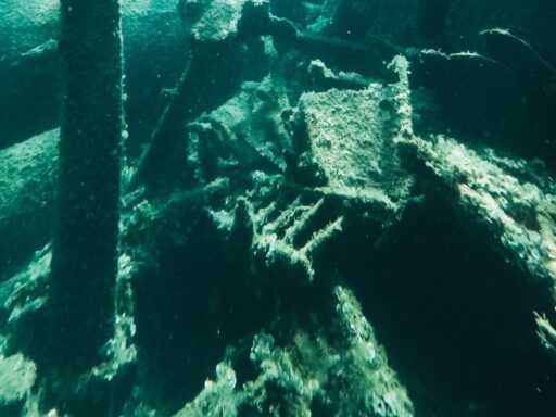
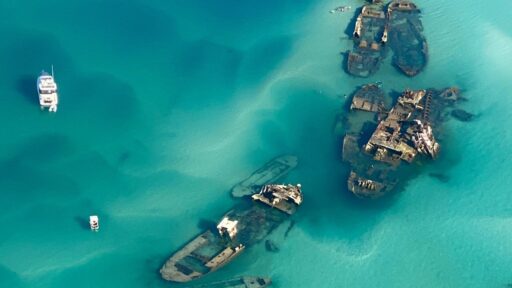
The cluster includes wooden workboats, tugs, barges, and small craft that served the shipyards and mills that once ringed the lake. Some hulls are intact enough that cabins, wheelhouses, and masts appear clearly in the imagery. Others have collapsed into ribs and planking but still show their outlines against the silt. The sonar work confirms that more than 20 distinct vessels sit within a relatively compact area, close enough that their shadows overlap on the scans.
Historical research helps match some of those shapes to specific episodes in Seattle’s maritime past. Lake Union was a working lake, tied to the timber trade, commercial fishing, and the construction of larger ships that later passed through the Ballard Locks. Old photographs and yard records show lines of tugs and barges moored where sonar now finds their wrecks, suggesting that several were simply scuttled when repairs no longer made economic sense.
In a few cases, the sonar outlines line up with known sinkings, such as vessels damaged in fires or storms that were towed out and abandoned. The technology provides the missing geometry for those stories, showing how a burned hull settled or how a barge came to rest tilted against an older wreck. Divers had glimpsed fragments for years, but the new maps pull those fragments into a single, coherent layout.
That layout is not random. Many of the wrecks sit off the same stretches of shoreline that once held boatyards and marine railways, including sites documented in accounts of the lake’s maritime ghosts. The sonar confirms that when a vessel’s working life ended, it often did not travel far. It simply slipped a short distance from the pier and joined the growing graveyard on the bottom.
Why an underwater “shipwreck city” matters to Seattle right now
The concentration of wrecks under Lake Union is more than a curiosity for divers. It appears at a moment when Seattle is rethinking how it relates to its waterways, from shoreline redevelopment to environmental cleanup. The sonar survey gives planners, historians, and residents a tangible reminder that the lake’s surface calm hides a century of industrial use and disposal.
For maritime historians, the wrecks fill gaps in the record of working boats that rarely made headlines. Large ocean-going ships were documented and photographed. Smaller tugs, scows, and service craft often were not, even though they powered the city’s economy. The sonar images provide physical evidence of hull types, construction methods, and modifications that shipbuilders and scholars can study without raising a single plank.
The cluster also sharpens questions about environmental impact. Many of the wrecks went down loaded with fuel, paint, and cargo residues that would not meet modern standards. Although much of that material has long since dispersed or become buried in sediment, the exact positions and conditions of the hulls help guide assessments of what remains. Knowing where the wrecks lie allows agencies to monitor the lakebed more precisely and to weigh whether leaving the vessels in place or disturbing them would do more harm.
The discovery resonates culturally as well. Lake Union today is framed by tech offices, upscale houseboats, and recreational marinas. The sonar images cut through that polished surface and reconnect the lake to an earlier city of sawmills, rail spurs, and rough working docks. They show that the same coves now lined with kayaks once held rows of workboats and that some of those boats are still there, only a few dozen feet below the modern shoreline.
That continuity can influence how residents think about preservation. Decisions about what to protect on land often hinge on visible structures: warehouses, piers, and cranes. The underwater fleet argues that heritage also sits out of sight, in places that are easy to overlook when development plans focus on views and surface navigation. The sonar survey gives advocates for maritime history a concrete tool when they argue that Lake Union is not just a backdrop but a working artifact.
Tourism and recreation may feel the effects as well. Divers already visit some of the better-known wrecks, but the new maps could support guided tours that interpret the cluster as a single historic district beneath the waterline. Kayak rentals, harbor cruises, and waterfront exhibits can now point to specific coordinates and stories rather than vague legends about “old boats on the bottom.” That shift from myth to mapped reality tends to deepen public interest instead of satisfying it.
How the Lake Union discovery could shape research, policy, and public access
With the sonar work establishing that a dense ship graveyard exists, the next phase is likely to be selective rather than a rush to excavate. Archaeologists and maritime historians will probably identify a handful of priority wrecks that merit closer documentation through dives, measurements, and photography. Vessels that represent rare construction styles, early industrial periods, or links to well-documented shipyards will rise to the top of that list.
Those detailed studies can feed back into broader questions about Seattle’s growth. By comparing hull designs and materials across the cluster, researchers can track how local builders responded to new engines, cargo needs, and safety rules. They can also tie individual boats to specific neighborhoods, employers, and trades, giving a more granular view of who worked on the lake and how their livelihoods changed over time.
Policy discussions are likely to follow. Once the locations of more than 20 wrecks are public, agencies that manage navigation, dredging, and shoreline permits must factor them into future projects. In some cases, that may mean protecting wrecks from disturbance. In others, it could require careful planning if a hull sits in the path of a needed utility line or marina expansion. The sonar maps give decision-makers a baseline so that choices about removal, preservation, or avoidance are made with full knowledge of what lies below.
There is also a question of how much of the underwater city should be made accessible to non-divers. New visual tools, such as 3D models derived from sonar and underwater photography, can turn the wrecks into virtual exhibits that residents can explore from shore or online. Museums and community groups that focus on Seattle’s working waterfront may use those models to connect school groups and newcomers to the lake’s industrial past without increasing physical traffic on the wrecks themselves.
At the same time, the survey underscores the need for ongoing monitoring. Lake Union continues to host heavy boat traffic, construction, and shoreline change. Knowing where historic wrecks sit allows future sonar sweeps to track whether they are shifting, collapsing, or being buried under new sediment. That long-term view will help researchers understand how wooden and steel hulls age in an urban freshwater environment, knowledge that can inform preservation efforts in other lakes and rivers.