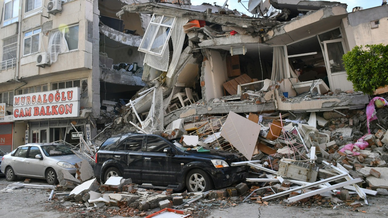

A powerful magnitude 7.3 earthquake struck off Mexico’s southern Pacific coast on July 17, shaking buildings across Chiapas and sending tremors through Guatemala and El Salvador. The shallow offshore quake triggered an initial tsunami threat, forced evacuations and caused damage to homes and public buildings in several Mexican municipalities.
The earthquake’s epicenter was located in the Pacific Ocean near the Mexico-Guatemala border, about 58 kilometers from Puerto Madero, according to the U.S. Geological Survey data cited by Reuters. It occurred at a depth of approximately 15 kilometers, allowing strong shaking to reach communities across a wide area.
Although early assessments found no deaths or widespread structural collapse, authorities continued inspecting buildings, roads and coastal areas as dozens of aftershocks followed the main earthquake.
The Earthquake Struck Near the Chiapas Coast
The earthquake occurred shortly before 9 a.m. local time and was initially measured at magnitude 7.4 by some monitoring agencies before being revised to 7.3.
Its offshore location placed the strongest effects near coastal Chiapas, including Tapachula, Puerto Madero and communities close to the Guatemalan border. Strong movement was also reported in Oaxaca, Tabasco and Campeche, while shaking was felt hundreds of miles away in Mexico City.
Residents described buildings swaying, objects falling from shelves and people rushing into streets. Hospitals, government offices, schools and commercial buildings were temporarily evacuated while officials inspected them for damage.
The U.S. Geological Survey earthquake information center provides updated magnitude, depth and aftershock information for major earthquakes worldwide. Initial measurements can change as more seismic stations contribute data.
Buildings Were Damaged Across Several Municipalities
Early government statements reported no major destruction, but later inspections identified damage to buildings and homes in several parts of Chiapas.
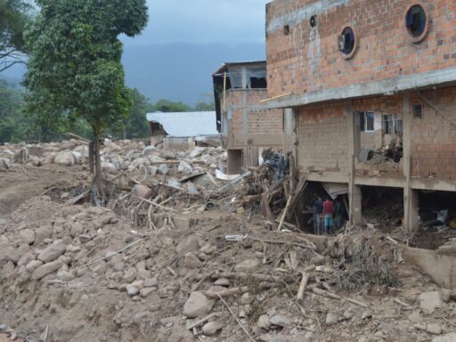
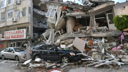
Civil protection authorities reported affected structures in municipalities including Tapachula, Tuxtla Gutiérrez, Mazatán and Ostuacán. Damage reportedly included cracks in walls, fallen plaster, damaged ceilings and other impacts that required further inspection.
Some cracks may be limited to plaster or nonstructural walls, while others can indicate more serious movement. Their appearance alone does not establish whether a building is safe, which is why engineers and civil protection teams must examine columns, beams, foundations and load-bearing walls.
Officials in San Cristóbal de Las Casas said their initial inspections found no injuries or material damage there. The different reports show how earthquake effects can vary significantly between communities, depending on distance from the epicenter, soil conditions and building quality.
Residents were advised not to reenter visibly damaged buildings until local authorities or qualified engineers had completed safety inspections.
At Least Two People Were Injured
No fatalities were immediately reported, but at least two people were injured in southern Mexico.
In Tapachula, a Haitian migrant woman reportedly experienced severe panic and jumped from an apartment building at a height of approximately four meters. She suffered fractures and received medical attention.
The incident highlights a danger that can accompany major earthquakes even when buildings do not collapse. Panic, falls, broken glass and rushed evacuations can cause injuries during or immediately after the shaking.
Earthquake guidance generally recommends staying inside during active shaking when a person is already indoors, dropping to the ground, taking cover under sturdy furniture and holding on until movement stops. Running outside can expose people to falling glass, walls, signs and electrical equipment.
The Ready.gov earthquake safety guide explains how households can prepare for strong shaking and respond without placing themselves in greater danger.
A Tsunami Threat Was Issued and Later Lifted
Because the earthquake occurred beneath the Pacific Ocean and had a magnitude above 7, authorities initially warned that tsunami waves could reach nearby coastlines.
Forecasts suggested possible waves of up to about one meter in some areas. Mexico’s Navy later estimated that water-level changes would probably remain closer to half a meter but still urged people to stay away from beaches and low-lying coastal zones.
Coastal residents were advised to avoid beaches for several hours because the first wave is not always the largest. Strong currents and unexpected water surges can also remain dangerous even when wave heights appear modest.
The tsunami threat was eventually lifted after monitoring showed that a destructive wave was unlikely. No tsunami threat was identified for California, Oregon, Washington, Alaska or western Canada.
People near an earthquake-affected coastline can monitor official advisories through the U.S. Tsunami Warning System. Local emergency instructions should take priority because authorities may order evacuations based on regional conditions not reflected in broad international alerts.
Strong Shaking Reached Guatemala and El Salvador
The earthquake was felt far beyond Mexico.
Buildings shook in Guatemala City, where workers evacuated government offices and other large structures. Guatemala’s disaster agency activated response protocols and monitored the western departments closest to the epicenter.
Minor landslides were reported in Guatemala, and authorities suspended in-person classes in four departments as a precaution. No deaths or significant structural damage were immediately confirmed there.
Shaking was also felt strongly in El Salvador. Officials reported no serious damage or casualties, although the earthquake prompted additional monitoring of seismic activity along the country’s Pacific coast.
The wide reach of the tremor reflects both its magnitude and its shallow depth. Shallow earthquakes often produce stronger surface shaking than deeper events of a similar magnitude because seismic energy travels a shorter distance before reaching populated areas.
Dozens of Aftershocks Followed the Main Quake
The USGS recorded at least 10 significant aftershocks ranging from approximately magnitude 4.9 to 6 in the hours after the main earthquake. Mexican reports later indicated that more than 60 aftershocks had been detected.
Aftershocks occur as the surrounding crust adjusts following movement along a fault. Most are weaker than the original earthquake, but a strong aftershock can still damage buildings that were weakened during the first event.
Residents were encouraged to remain cautious around cracked walls, damaged roofs, leaning utility poles and unstable slopes. People returning to homes were also advised to check for gas leaks, electrical damage and broken water lines.
Aftershock activity normally decreases over time, but it can continue for days, weeks or longer. No agency can predict the exact time or magnitude of a future earthquake.
Why Southern Mexico Is Highly Seismic
Southern Mexico lies in one of the world’s most active earthquake zones. Offshore, the Cocos tectonic plate is being forced beneath the North American plate along a process known as subduction.
Stress builds where these plates meet until sections of the fault move suddenly, releasing energy as an earthquake. The same tectonic boundary has produced many of Mexico’s strongest and most damaging seismic events.
Chiapas is particularly exposed because it lies close to the Cocos plate boundary and the complex tectonic region near Guatemala.
The quake’s offshore location reduced the likelihood of the type of concentrated urban destruction that can occur when a shallow earthquake strikes directly beneath a city. However, it also created an immediate need to evaluate tsunami risk.
Mexico City’s Earthquake Alarm Did Not Activate
Despite reports of shaking in Mexico City, the capital’s public earthquake alarm did not sound.
Authorities said the energy detected during the earthquake’s first seconds did not exceed the system’s activation thresholds. Reports also noted limitations in sensor coverage in parts of Chiapas, prompting questions about early-warning protection for earthquakes originating in the far south.
Earthquake early-warning systems do not predict earthquakes. They detect seismic waves after an earthquake begins and attempt to send an alert before the strongest shaking reaches more distant locations.
The available warning time may range from several seconds to more than a minute, depending on the earthquake’s location and the distance between the epicenter and the city receiving the alert.
Inspections Will Determine the Full Extent of the Damage
The absence of widespread collapse is encouraging, but the complete impact may take time to establish.
Damage assessments must cover homes, schools, hospitals, bridges, public offices and roads across a large region. Hidden structural problems may not be visible during a quick exterior inspection, especially in older or poorly maintained buildings.
After a strong earthquake, new or expanding diagonal cracks, separated walls, leaning structures and damaged columns should be treated seriously. Residents should not attempt to repair major structural damage without professional evaluation.
The 7.3 earthquake demonstrated how quickly a major seismic event can affect several countries at once. It triggered tsunami precautions, damaged buildings, injured residents and produced strong aftershocks, yet avoided the mass casualties that earthquakes of this size can sometimes cause.
Continued inspections and aftershock monitoring will determine whether additional risks remain across Chiapas and neighboring regions.