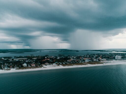
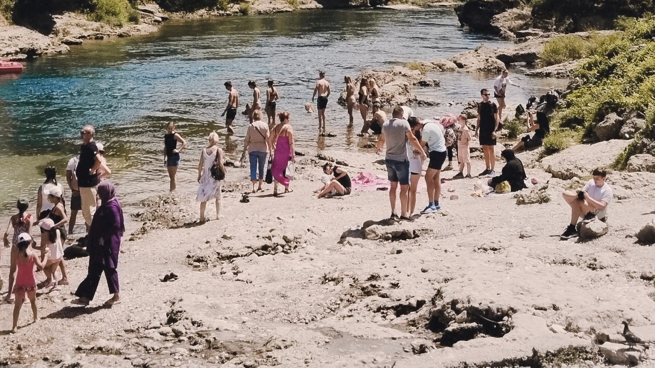

Florida’s weekend forecast brings two familiar summer hazards at the same time: oppressive heat and rapidly developing thunderstorms. Residents and visitors planning beach trips, theme-park visits, outdoor sports, road journeys or family events should expect long periods of hot weather interrupted by storms capable of producing frequent lightning, gusty winds and torrential rain.
The forecast for Saturday, July 25, and Sunday, July 26, does not suggest that the entire state will experience continuous rain. Many locations should still receive several hours of usable outdoor weather. However, conditions may change quickly during the afternoon and evening, particularly across Central, Northeast and South Florida.
Florida’s Heat Could Become Dangerous
High temperatures across much of Florida are expected to reach the low to upper 90s, but humidity will make the air feel considerably hotter. In Northeast Florida, the National Weather Service says heat advisory conditions are likely in some areas on Saturday, with inland temperatures rising into the mid and upper 90s.
Heat index values, which estimate how hot conditions feel when humidity is included, could reach between 105 and 110 degrees in several parts of the state. The National Weather Service Jacksonville forecast discussion indicates that the hottest conditions may affect inland and urban areas before thunderstorms develop.
South Florida will also remain uncomfortable throughout the weekend. The National Weather Service Miami forecast expects daily heat index readings above 100 degrees, with possible values between 105 and 110 degrees. Afternoon temperatures are generally expected to remain in the low to mid-90s.
The heat will be especially challenging for people attending outdoor festivals, working outside, exercising or waiting in theme-park queues. Children, older adults and people without reliable access to air conditioning may experience the greatest effects.
Afternoon Storms Will Become More Widespread
The weekend is not expected to be completely wet, but storm coverage should increase as moisture moves across the state and sea-breeze boundaries develop. These boundaries form when cooler air from the Atlantic Ocean and Gulf of Mexico moves inland and collides with hotter air over the peninsula.
Across Northeast Florida, scattered to numerous afternoon and evening thunderstorms are forecast from Saturday through Monday. A few storms could become strong or briefly severe, producing frequent lightning, heavy downpours and damaging wind gusts. The greatest disruption may occur later in the day after temperatures have reached their highest levels.
East Central Florida, including the Orlando area, is also expected to experience a noticeable increase in storm activity. Rain chances range from roughly 30% to 50% on Saturday and could reach around 70% in many locations on Sunday. Slow-moving storms may produce two to four inches of rain in isolated areas, creating a risk of minor flooding on roads and in locations with poor drainage.
What the Forecast Means for Orlando Theme Parks
Visitors heading to Walt Disney World, Universal Orlando, SeaWorld or other Central Florida attractions should not automatically cancel their plans. Morning hours are likely to provide the best combination of lower temperatures and reduced thunderstorm coverage.
Conditions will become more difficult during the afternoon. Temperatures in the Orlando area may reach the mid-90s before clouds and storms develop, while the heat index could climb above 105 degrees. Visitors should expect outdoor rides, pools and entertainment areas to close temporarily when lightning approaches.
A flexible plan will work better than a tightly scheduled itinerary. Indoor rides, restaurants, shops and hotel breaks can provide shelter during the hottest part of the day. The latest location-specific outlook should be checked through the National Weather Service Melbourne office, which covers Orlando and much of East Central Florida.
Beach Plans May Still Work With Careful Timing
Florida’s beaches may appear inviting during the morning, especially before inland thunderstorms become active. However, clear skies at the coast do not guarantee safe swimming conditions.
Northeast Florida beaches are expected to face a moderate rip current risk on Saturday. A moderate designation means life-threatening rip currents are possible, even when waves do not appear unusually large. Swimmers should remain near staffed lifeguard stations and follow local beach-flag warnings.
The National Weather Service provides additional guidance through its rip current safety resources. Beachgoers should check the local surf-zone forecast before entering the water and avoid swimming near piers, jetties or other structures where currents may become stronger.
Lightning will create another major concern. Storms may develop inland and then move toward coastal areas during the afternoon or evening. Anyone who hears thunder should leave the beach rather than waiting for rain to begin.
South Florida Faces Heat and Flooding Concerns
Miami, Fort Lauderdale, Naples and surrounding communities should experience a mixture of sunshine, extreme humidity and scattered storms. Saturday’s winds may allow storms to move slowly across parts of the region, increasing the possibility of repeated rainfall over the same neighbourhoods.
Urban areas along Florida’s southeast coast are particularly vulnerable to ponding because heavy rain can overwhelm drainage systems within a short period. Sunday’s shifting winds may focus more afternoon activity toward Miami-Dade, Broward and Palm Beach counties.
Outdoor plans remain possible, but early scheduling will be important. Morning beach visits, walks and sightseeing activities should generally face lower storm risks than late-afternoon events. Travellers should still watch radar because some coastal showers may develop earlier than the typical afternoon storm cycle.
The Panhandle May Stay Drier but Hotter
The western Florida Panhandle could experience fewer storms than the peninsula, but intense heat will remain a serious concern. Fort Walton Beach is forecast to reach around 94 degrees on Saturday, with heat index values potentially approaching 107 degrees. Sunday may be mostly sunny with a high near 95 degrees.
The lower storm probability may make outdoor plans easier to manage, but it also means there may be fewer cooling showers. Beach visitors, boaters and outdoor workers could face extended exposure to sunshine and humidity.
Visitors should not treat cloudy periods as protection from heat. High humidity can limit the body’s ability to cool itself, even when direct sunlight briefly disappears.
Road Trips Could Face Sudden Visibility Problems
Drivers travelling between Orlando, Tampa, Jacksonville, Miami and other Florida destinations should prepare for abrupt weather changes. A road can be dry and bright one moment, then covered by heavy rain several minutes later.
Slow-moving storms may create standing water, reduced visibility and localised flooding. Strong wind gusts can also make driving more difficult, especially for high-profile vehicles. Travellers should allow extra time and avoid attempting to cross water-covered roads where the depth is unknown.
Florida’s weekend storms are likely to be unevenly distributed. One community may receive torrential rain while another location only a few miles away remains dry. A statewide forecast therefore provides general guidance, but local radar and warnings will remain more useful immediately before travel.
Outdoor Events Need a Lightning Plan
Sports tournaments, weddings, concerts and community events should have access to substantial indoor shelter or hard-topped vehicles. Tents, gazebos, open pavilions and covered patios do not provide reliable lightning protection.
The National Weather Service lightning safety guide advises people to move indoors as soon as thunder is heard. Outdoor activities should not resume until at least 30 minutes after the last sound of thunder.
Event organisers should monitor conditions throughout the day rather than relying only on the morning forecast. Thunderstorms can develop quickly in Florida’s humid summer environment, and lightning may extend well beyond the area experiencing heavy rain.
Early Hours Offer the Best Opportunity
The most practical weekend strategy is to place important outdoor activities in the morning. Temperatures will still be warm, but heat stress and thunderstorm coverage will generally be lower before midday.
Afternoon plans should include access to shade, air conditioning and indoor alternatives. The National Weather Service heat safety centre provides guidance for recognising and reducing heat-related risks. Drinking water regularly, taking cooling breaks and limiting intense physical activity during peak heat can make outdoor plans safer.
Florida’s weekend should not be treated as a complete washout. It will instead be a demanding summer weekend in which usable weather may be followed by dangerous heat or sudden storms. Plans built around early starts, flexible schedules and frequent forecast checks will have the best chance of avoiding major disruption.