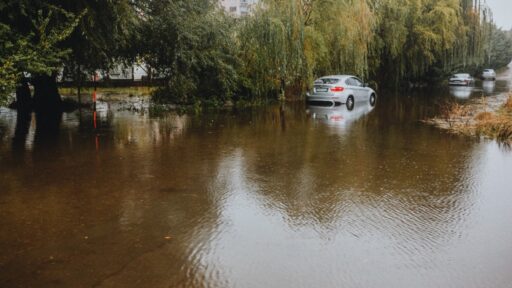
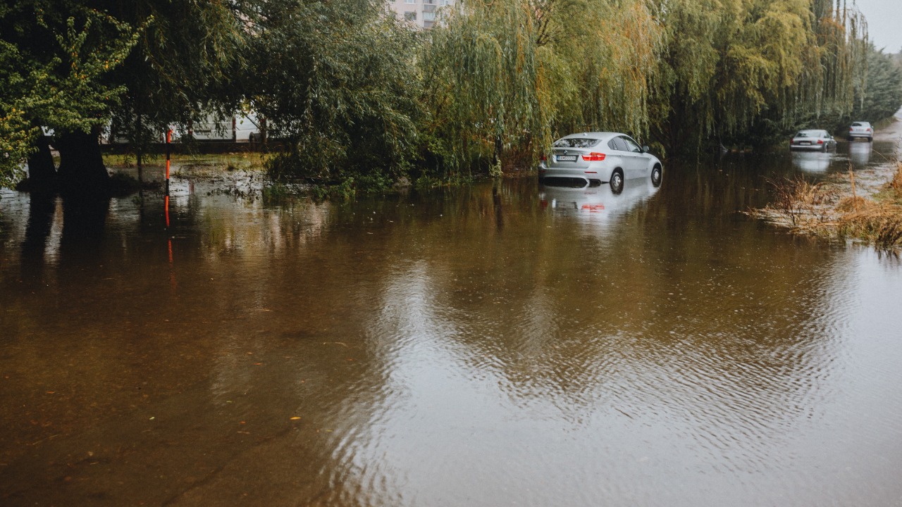

A renewed flash-flood threat is developing across a wide section of the United States as slow-moving thunderstorms bring repeated rounds of heavy rain from the central Plains and Midwest to the Appalachians, Southeast and Eastern Seaboard.
The danger will not come from one continuous wall of rain covering every location. Instead, individual storms may repeatedly move over the same communities, allowing several inches of water to accumulate within only a few hours. That pattern can overwhelm drainage systems, rapidly raise small streams and turn normally manageable roads into dangerous flood zones.
The unsettled weather is expected to continue through the end of the week, with the highest local impacts depending on exactly where thunderstorms form and how slowly they move. The latest AccuWeather storm outlook identifies parts of the Plains and Midwest, including the Chicago area, as one of the initial zones of concern before heavier rain expands through portions of the eastern United States.
Repeated Thunderstorms Raise the Flood Risk
The developing pattern involves a slow-moving front extending across the central United States. Thunderstorms are expected to travel generally from southwest to northeast along the boundary, but the front itself may move only gradually.
This creates the possibility of “training” storms, a term used when multiple thunderstorms pass over the same area like railway cars following the same track. The first storm saturates the ground and fills drainage channels, while each additional downpour produces faster runoff.
The NOAA National Severe Storms Laboratory’s flood-forecasting guidance explains that forecasters closely monitor whether storms are repeatedly redeveloping over one location. Recent rainfall and existing soil moisture are also important because saturated ground cannot absorb water as effectively.
Some communities may receive only scattered showers, while a nearby town experiences several rounds of intense rain. This localised nature makes flash flooding difficult to predict at street level far in advance.
The Plains and Midwest Face the First Major Round
One area of concern extends from portions of the central and southern Plains into the Midwest. The threat includes areas from the Texas and Oklahoma panhandles toward Kansas, Missouri, Illinois and surrounding states.
Storms developing along the front may produce torrential rain, hail and damaging wind gusts. The strongest severe-weather potential was expected from Wednesday afternoon into the night between the southern High Plains and west-central Illinois, while repeated downpours could continue across parts of the Plains, Mississippi Valley and Ohio Valley into the weekend.
Chicago and other heavily developed metropolitan areas are especially vulnerable to short bursts of intense rainfall. Roads, rooftops and paved surfaces prevent water from soaking into the ground, directing it toward storm drains that can quickly become overwhelmed.
A rainfall total that might cause limited problems in a rural field can produce flooded underpasses, stalled traffic and water entering buildings in a densely developed city. The precise effect will depend on the rain rate, storm duration, drainage capacity and how much water the ground has already received.
Heavy Rain Will Expand Into the East
A second zone of concern is developing from Florida and the northeastern Gulf Coast through the Appalachians and along the Atlantic coast.
Moisture is expected to move northward around the western side of high pressure positioned offshore. At the same time, the central US front will slowly advance eastward while an upper-level disturbance remains near the Southeast.
These features may cause weather systems to become crowded together, encouraging thunderstorms to form repeatedly within a south-to-north corridor. Rain and storms are expected to expand through the eastern states from Wednesday into Friday.
Parts of the Northeast are entering this period after already experiencing significant flooding. Connecticut communities received more than four inches of rain in some locations on August 3, triggering flash-flood warnings and local travel disruption. Old Lyme recorded 4.63 inches within 24 hours, while several other communities exceeded four inches.
Previously soaked locations may flood more quickly when additional rain arrives, even if the next storm produces a lower total.
Why Several Inches Can Fall So Quickly
Warm, humid summer air can hold a large amount of moisture. When that air rises inside a thunderstorm, water vapour condenses and produces intense rainfall.
The most dangerous situation occurs when steering winds are weak or aligned with a stationary boundary. A storm may move slowly, or new cells may repeatedly form behind it and follow the same route.
According to the current forecast, some locations could receive a couple of inches within only a few hours. Isolated areas exposed to repeated storms may receive several inches, creating rapid rises in creeks and flooding streets, low-lying land and poorly drained neighbourhoods.
The National Weather Service defines a flash flood as a rapid and extreme rise of water that begins within six hours of the triggering event. In many cases, flooding starts within three hours of the heaviest rain. The NWS explanation of flash flooding notes that rainfall intensity, terrain, soil conditions, vegetation and urban development all influence how quickly flooding develops.
Storms May Also Bring Damaging Winds and Hail
Flooding is not the only threat. Some thunderstorms may produce strong wind gusts capable of damaging trees and interrupting electricity service.
Heavy rain can weaken soil around tree roots, making trees more vulnerable to gusty winds. Even a storm that does not meet the official threshold for a severe thunderstorm may bring enough wind to knock branches onto roads, power lines or buildings.
Hail and frequent lightning may accompany the strongest central US storms. Outdoor events, agricultural operations and construction activity could be disrupted even in places that avoid flooding.
Where breaks in the clouds allow temperatures to rise, the atmosphere may become more unstable before storms form. Areas experiencing several hours of sunshine could reach the mid-80s to mid-90s Fahrenheit, with humidity making conditions feel close to 100 degrees in some locations.
Travel Disruption Could Affect Both Commutes
Although summer thunderstorms commonly develop during the afternoon and early evening, heavy rain will not be limited to those hours. Some areas may experience downpours during the morning or overnight.
That timing could interfere with both major commuting periods. Visibility can decrease suddenly beneath a strong storm, while standing water may conceal potholes, damaged pavement or road edges.
Urban underpasses and low-water crossings can flood before drivers realise the depth of the water. A road that appeared safe during the previous journey may become impassable after one intense thunderstorm.
The National Weather Service flood-safety guidance advises drivers never to enter a flooded road. Moving water can push a vehicle from the roadway, while the surface beneath the water may already have washed away.
A Watch and a Warning Do Not Mean the Same Thing
Residents should monitor local forecasts because broad national outlooks cannot show every neighbourhood that will flood.
A flood or flash-flood watch means conditions are favourable and people should prepare. A flash-flood warning means flooding is occurring, imminent or considered highly likely, requiring immediate action.
The NWS guide to flood watches and warnings describes a flash-flood warning as a call to act rather than continue monitoring casually.
People in basement apartments or flood-prone homes may need to move to higher levels when a warning is issued. Those near streams should not assume that rain must be falling directly overhead, since water can rise rapidly after intense rainfall occurs upstream.
The Stormy Pattern May Continue Into the Weekend
The current setup is not expected to disappear after one round of storms. Downpours may remain active across parts of the central Plains, Mississippi Valley and Ohio Valley into the weekend, while moisture continues feeding thunderstorms farther east.
Forecast confidence is greater regarding the broad wet pattern than the exact location of the worst flooding. Individual storm tracks can shift over relatively short distances, leaving one area with ordinary rainfall and another with damaging totals.
The most important factor will be repetition. A single downpour may cause temporary ponding, but several storms over the same community could quickly produce a flash-flood emergency.
The return of widespread thunderstorms may provide relief from heat in some locations, but it introduces a more immediate hazard. Across the central and eastern United States, the greatest danger will come where slow movement, deep moisture and repeated rainfall combine over streets, streams and already saturated ground.