
The latest UK heatwave is ending with a dramatic change in conditions as intense thunderstorms, hail and sudden downpours threaten parts of Northern Ireland and Scotland. While southern and eastern England continue to experience another hot day, cooler and more unsettled air is moving across the country from the northwest.
The transition does not mean every area will receive meaningful rain. Thunderstorms are expected to remain scattered, leaving some communities almost completely dry while nearby locations experience enough rainfall to flood roads, interrupt public transport and damage property. The contrast between intense local downpours and prolonged national dryness is likely to define the final stage of the heatwave.
The UK Is Experiencing Two Very Different Weather Patterns
Tuesday, 4 August 2026, is delivering a divided weather picture. Much of southeastern England remains hot and largely dry, while cooler air and unstable conditions generate heavy showers farther north and west.
Under the UK’s official definition, a heatwave occurs when a location reaches or exceeds its regional temperature threshold for at least three consecutive days. This means heatwave conditions can end as temperatures fall below the threshold even when the weather still feels unusually warm in some places. The Met Office heatwave definition also explains why one region can technically remain in a heatwave while another nearby area does not.
The change is being driven by cooler air moving into the UK and replacing the hot, settled conditions that dominated the beginning of the week. That transition is creating the instability required for thunderstorms, particularly where daytime heating combines with increased atmospheric moisture.
Thunderstorm Warnings Cover Northern Ireland and Scotland
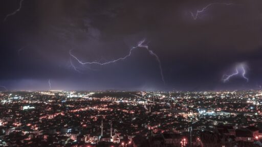
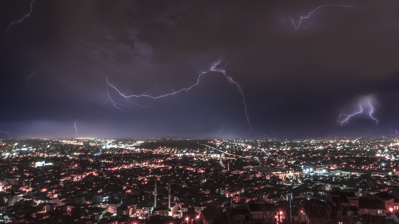
The Met Office issued a yellow thunderstorm warning for eastern parts of Northern Ireland, including County Antrim, County Armagh and County Down. The warning runs until 9 p.m. on Tuesday after being narrowed during the afternoon as the likelihood of disruptive storms decreased elsewhere.
The latest Met Office weather-warning information states that slow-moving showers could produce between 20mm and 30mm of rain within one or two hours. The strongest storms may also bring gusty winds and hail, increasing the possibility of difficult driving conditions, temporary power interruptions and disruption to outdoor events.
A separate warning covers parts of central and eastern Scotland, including Aberdeen, Aberdeenshire, Angus, Dundee, Edinburgh, Fife, Glasgow, Perth and Kinross, Stirling and surrounding areas. Some locations could receive between 15mm and 20mm in one hour and as much as 30mm to 40mm over approximately three hours.
Not every place inside the warning areas will experience a storm. Summer thunderstorms can develop rapidly and remain highly localised, meaning one neighbourhood may receive torrential rain while another only a few miles away stays dry.
Why Flash Flooding Can Follow a Long Dry Period
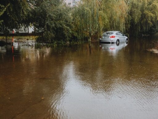
Heavy rain after prolonged drought may appear beneficial, but sudden downpours can create immediate flooding problems. Very dry or compacted ground may struggle to absorb a large amount of water quickly. Instead of soaking into the soil, rain can flow rapidly over the surface and collect on roads, in underpasses or around buildings.
The Environment Agency’s flash-flooding guidance explains that this type of flooding can develop when a substantial amount of rain falls within a short period. It can occur far from major rivers and may create deep, fast-moving water with little warning.
Urban areas face an additional problem because roads, pavements and roofs prevent water from entering the ground. Drainage systems may become overwhelmed when intense rainfall arrives faster than it can be carried away.
The risk is especially concerning after an exceptionally dry July. Provisional Met Office figures show that England received only 6.5mm of rainfall during the month, equivalent to 10 percent of its long-term average. Wales recorded 9.3mm, or only 9 percent of average rainfall, while southern England received just 1.9mm and experienced its driest month in a series dating back to 1836.
A Few Thunderstorms Will Not End the Drought
Although the storms may deliver large rainfall totals to isolated locations, they are unlikely to resolve the wider drought. Drought recovery normally requires sustained rainfall over a broader geographical area so that reservoirs, rivers, soils and underground water sources can gradually recover.
The government’s guidance on how drought is managed in England notes that a flash flood or short period of rainfall during a drought does not automatically mean the drought has ended. Intense rain may run off the surface before it can provide meaningful long-term replenishment.
The contrast could be particularly noticeable this week. Areas affected by storms may experience temporary flooding, while parts of southeastern England receive little or no rain and continue to face dry ground, stressed vegetation and reduced water availability.
The Met Office’s July climate report shows that the dry conditions have already contributed to drought across the whole of Wales and approximately half of England. Nineteen English counties recorded no more than 1mm of rain throughout July.
Heat-Health Alerts Remain in Force
The approaching cooler air does not immediately remove the health effects created by several consecutive hot days. UK Health Security Agency alerts remain active across much of England until 9 a.m. on Wednesday, 5 August.
Amber heat-health alerts cover the East Midlands, East of England, London and the South East. Yellow alerts apply to the North West, South West, West Midlands, and Yorkshire and the Humber. The current UKHSA heat-health dashboard identifies the areas where hot weather may place additional pressure on health and social-care services.
Heat-health alerts are separate from the Met Office’s severe-weather warnings. They focus on the expected effect of sustained temperatures on health, particularly among older people, individuals with existing medical conditions and those living in buildings that are difficult to keep cool.
As a result, some parts of England may still need to manage heat-related risks even while thunderstorms and cooler conditions develop elsewhere.
Travel and Outdoor Events Face the Greatest Immediate Disruption
The most likely storm-related effects include standing water, reduced visibility, road spray and sudden changes in driving conditions. Hail may make road surfaces slippery, while lightning and gusty winds could create additional risks around temporary structures, festivals, campsites and exposed outdoor locations.
The Met Office has warned that some homes and businesses could experience rapid flooding. Train and bus services may also face delays or cancellations where tracks, roads or electrical systems are affected. Short-term power outages are possible if lightning or strong winds damage local infrastructure.
People caught outside when thunder becomes audible are advised to move into a secure enclosed building or vehicle. Trees, exposed high ground and temporary shelters do not provide reliable protection from lightning. Floodwater should not be crossed on foot or by car because its depth, speed and condition can be difficult to judge.
Cooler Weather Arrives, but More Storms Are Possible
Wednesday is expected to feel cooler across much of the UK. Northern areas will continue to experience showers or longer periods of rain, accompanied by strong winds and a continuing risk of hail and thunder. Southern regions should see brighter spells, although temperatures will be lower than during the peak of the heatwave.
A further yellow thunderstorm warning covers northeastern Scotland on Wednesday from 10 a.m. until 9 p.m. Slow-moving storms could produce between 20mm and 30mm of rain in one or two hours, with isolated totals approaching 50mm over three to six hours.
Thursday and Friday are forecast to become drier for many locations, with temperatures returning closer to the seasonal average. Rain may return to northern and western areas on Saturday, while southeastern England could begin to turn warmer again. The longer-range forecast also leaves open the possibility of further hot or thundery periods later in August.
The Heatwave Is Ending, but the Weather Risks Are Not
The final day of the heatwave demonstrates how quickly one weather hazard can be replaced by another. Excessive heat is easing, but the arrival of thunderstorms introduces the possibility of lightning, hail, travel delays and localised flash flooding.
The storms may provide temporary relief from high temperatures, yet they will not deliver the widespread, persistent rainfall required to reverse the UK’s underlying drought conditions. Some communities may receive too much rain within a few hours, while others continue waiting for any measurable rainfall at all.
The immediate priority is therefore not simply preparing for cooler weather. It is following updated local warnings, checking travel plans and recognising that a yellow warning can still produce serious effects in the relatively small areas struck by the strongest storms.