
El Niño has returned in 2026, and current forecasts suggest it could intensify into one of the strongest events recorded in the modern climate record.
The term “Super El Niño” is widely used by news outlets to describe an exceptionally powerful El Niño, usually when sea-surface temperatures in a key part of the tropical Pacific rise at least 2°C above the long-term average for several months. It is not an official category used by the World Meteorological Organization, which prefers the term “very strong El Niño.”
As of July 2026, El Niño conditions were already present and strengthening. The US National Oceanic and Atmospheric Administration estimated an 81 percent chance that the event would reach the “very strong” category during October through December, with a 97 percent probability that El Niño would continue into early spring 2027. NOAA’s latest assessment is available through its ENSO Diagnostic Discussion.
That does not guarantee catastrophic weather everywhere. El Niño changes the odds of particular temperature, rainfall and storm patterns, but regional conditions still depend on other climate systems, local geography and natural variability.
What Is El Niño?
El Niño is the warm phase of a recurring climate pattern called the El Niño–Southern Oscillation, or ENSO.
Under normal conditions, easterly trade winds push warm surface water toward Indonesia and northern Australia. Colder, nutrient-rich water rises near the west coast of South America to replace it.
During El Niño, those trade winds weaken or sometimes reverse. Warm water spreads eastward across the central and eastern tropical Pacific, reducing the normal upwelling of colder water.
The movement of such a large volume of warm ocean water alters tropical rainfall and atmospheric circulation. Those changes can then influence weather thousands of kilometres away through large-scale atmospheric connections known as teleconnections.
The World Meteorological Organization’s ENSO overview explains that El Niño and La Niña usually develop between March and June, peak between November and February and occur irregularly every two to seven years.
What Makes an El Niño “Super”?
“Super El Niño” has no single internationally recognized scientific definition.
The World Meteorological Organization explicitly does not use the term. It classifies events as weak, moderate, strong or very strong based on ocean-temperature measurements and atmospheric behaviour.
NOAA currently measures strength using the Relative Oceanic Niño Index, or RONI. This index tracks the three-month average temperature departure in the Niño 3.4 region of the east-central equatorial Pacific while accounting for the overall warming of tropical oceans.
Under NOAA’s current categories, an index of at least 2°C is considered a very strong El Niño. Moderate events range from 1°C to below 1.5°C, while strong events fall between 1.5°C and below 2°C. NOAA publishes those thresholds and current probabilities through its official ENSO strength outlook.
In ordinary public discussion, an event reaching or exceeding that 2°C threshold is often called a Super El Niño.
Temperature alone is not enough, however. A true El Niño requires the ocean and atmosphere to behave as one connected system. Scientists also look for weaker trade winds, changes in atmospheric pressure and shifts in tropical thunderstorms.
How Strong Is the 2026 El Niño Expected to Become?
The 2026 event developed rapidly after a weak La Niña faded earlier in the year.
NOAA reported in July that the weekly Niño 3.4 temperature anomaly had reached approximately 1.2°C. Waters in the far eastern tropical Pacific were even warmer, with the Niño 1+2 index at about 2.7°C.
Atmospheric indicators also confirmed that the ocean warming was influencing winds and rainfall. Thunderstorm activity had increased over the central and eastern Pacific and weakened over Indonesia, while wind anomalies were consistent with a strengthening El Niño.
NOAA’s July forecast gave the event an 81 percent chance of reaching the very strong category during October–December 2026. It assigned a 75 percent chance to very strong conditions during November–January and a 54 percent chance during December–February.
The World Meteorological Organization has similarly reported that major international forecasting centres expect seasonal ocean-temperature anomalies to exceed 2°C in key monitoring regions as the event intensifies. Its July 2026 El Niño update describes a rapid transition toward a strong event.
Those projections make a very strong El Niño the most likely outcome, but forecasts can still change as ocean and atmospheric conditions evolve.
How Does It Compare With Past Super El Niños?
The strongest widely recognized El Niño events in the modern record occurred in 1982–83, 1997–98 and 2015–16.
Each produced major disruptions, but their effects were not identical.
The 1997–98 event brought destructive flooding to parts of California and South America, severe drought and fire risk in Indonesia, damage to global coral reefs and major disruption to fisheries.
The 2015–16 event contributed to exceptional global temperatures, drought in parts of Africa and Asia and widespread coral bleaching.
NOAA says the 2026 event, if it develops as forecast, could rank among the largest El Niños in records extending back to 1950.
That does not mean it will reproduce every impact from those earlier years. The location of the warmest Pacific water, the timing of the peak and interactions with other ocean patterns can substantially change regional outcomes.
Could 2026 or 2027 Become Exceptionally Hot?
El Niño generally releases additional heat from the tropical Pacific into the atmosphere, raising global average temperatures.
Its strongest global temperature effect often appears several months after the event develops. This is why a powerful El Niño beginning in 2026 could have a particularly noticeable influence on global temperatures in 2027.
The background climate is already warmer because of human-produced greenhouse gases. El Niño temporarily adds natural warming on top of that long-term trend.
The WMO notes that the powerful 2023–24 El Niño combined with human-driven climate change to help make 2024 the hottest year recorded at the time. It also emphasizes that climate change can amplify El Niño-related heatwaves and heavy rainfall because warmer air and oceans contain more heat and moisture.
El Niño does not cause global warming. It redistributes heat within the climate system, while greenhouse gases produce a persistent rise in long-term temperatures.
Which Areas Could Become Wetter?
El Niño often shifts tropical rainfall eastward across the Pacific.
Parts of coastal South America may experience heavier rainfall and flooding, particularly Peru and Ecuador. The southern United States can also become wetter during the Northern Hemisphere winter, especially across California, the Gulf Coast and the Southeast.
For July through September 2026, the WMO forecast increased chances of above-average rainfall across the central and eastern equatorial Pacific and portions of the southwestern United States. It also identified a greater likelihood of wetter conditions in some parts of southern Europe and areas near the northern Gulf of Guinea.
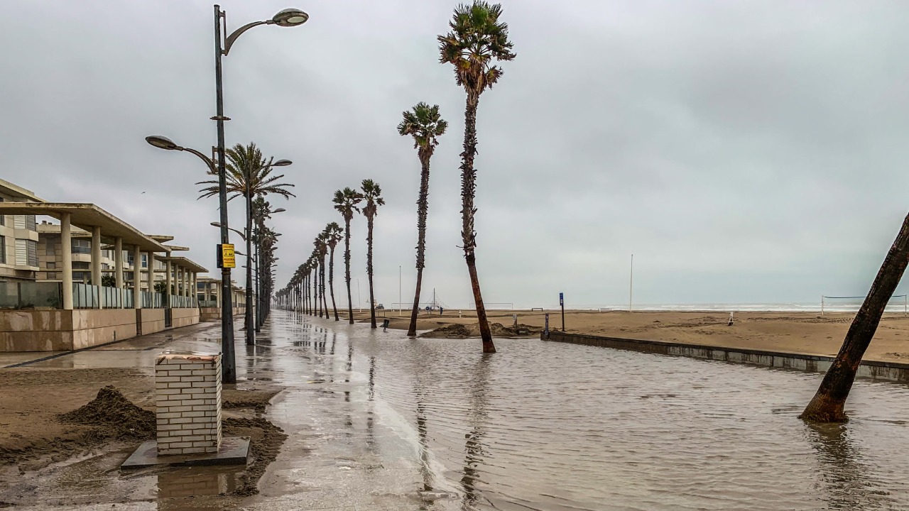
Heavy rain can replenish reservoirs and improve drought conditions, but intense downpours may trigger flash floods, landslides and crop damage.
Seasonal forecasts describe probabilities across broad regions. They cannot predict the exact location or timing of individual storms months in advance.
Which Regions Could Face Drought?
El Niño often suppresses rainfall over parts of Australia, Indonesia, South Asia and southern Africa.
The WMO’s 2026 outlook indicated elevated chances of below-normal rainfall across much of Australia, parts of the Indian subcontinent, the tropical Indian Ocean, Central America, the Caribbean and northwestern South America.
Reduced rainfall can damage crops, lower water supplies and increase wildfire risk. Indonesia and Australia are particularly vulnerable when El Niño combines with high temperatures and dry vegetation.
In South Asia, the effect on the monsoon can be serious but is not automatic. The Indian Ocean Dipole and other regional conditions can strengthen, weaken or partly offset El Niño’s influence.
Farmers and water managers therefore rely on local meteorological forecasts rather than assuming every El Niño produces the same drought pattern.
What Could It Mean for Hurricanes?
El Niño affects hurricane activity differently in the Atlantic and Pacific.
Over the Atlantic, stronger upper-level winds associated with El Niño often increase vertical wind shear. This can disrupt developing tropical storms and reduce the number that become powerful hurricanes.
In the eastern and central Pacific, El Niño can create warmer water and atmospheric conditions that support greater storm activity.
NOAA’s 2026 eastern Pacific outlook says moderate or stronger El Niño conditions are likely to favor higher activity, particularly in the central Pacific. Its explanation of the connection is available through the agency’s El Niño and hurricane guidance.
A quieter Atlantic season does not mean no destructive hurricanes will occur. A single storm hitting a populated coastline can cause severe damage even during a below-average season.
Fisheries and Marine Ecosystems May Be Disrupted
El Niño weakens the normal rise of cold, nutrient-rich water along the western coast of South America.
With fewer nutrients reaching the surface, populations of plankton can decline. Fish may move toward cooler waters or become less abundant, affecting commercial fisheries and marine predators.
Warm ocean temperatures also increase coral bleaching risk. Corals expel the algae that provide much of their energy when water remains unusually warm for extended periods.
The combination of a strong El Niño and already elevated global ocean temperatures could place additional stress on reefs that have recently experienced widespread bleaching.
Changes in fish distribution may also affect seabirds, marine mammals and coastal communities that depend on fishing income.
Food Prices Could Feel the Effects
A very strong El Niño can influence global food production by creating drought in one region and excessive rainfall in another.
Rice, wheat, maize, coffee, cocoa, sugar and palm-oil production may be affected depending on where rainfall changes occur.
Livestock farmers can face higher feed costs when pastures dry out, while fishing communities may lose income when ocean ecosystems shift.
The final effect on food prices depends on global reserves, trade policies and whether multiple agricultural regions experience losses at the same time.
El Niño can also produce some benefits. Wetter conditions may improve harvests or reservoir levels in locations that were previously dry.
The event is therefore not uniformly harmful, but strong episodes increase the risk of simultaneous disruptions across several parts of the global food system.
Does Climate Change Cause Super El Niño Events?
Scientists have not established that human-caused climate change is definitively making El Niño events more frequent or more intense.
The WMO states that there is currently no conclusive evidence that climate change has increased El Niño frequency or strength.
However, El Niño now operates within a warmer climate.
Higher background temperatures can make heatwaves more severe. Warmer air can hold more water vapour, potentially intensifying heavy rainfall. Higher sea levels can also worsen coastal flooding when storms and elevated tides occur.
As a result, even an El Niño of similar oceanic strength to a historical event may create different consequences today.
Scientists are continuing to investigate how future warming may alter ENSO behaviour, including whether the most extreme events could become more common.
A Strong Forecast Is Not a Guaranteed Local Outcome
The phrase “Super El Niño” can create the impression of one global disaster, but that is not how the phenomenon works.
El Niño shifts probabilities. It does not determine every storm, drought or temperature record.
NOAA warns that even the strongest events do not produce the expected pattern in every region. A strong El Niño generally gives forecasters greater confidence in broad seasonal tendencies, but local outcomes can still differ.
Other climate patterns, including the Indian Ocean Dipole, Arctic Oscillation and North Atlantic Oscillation, can interact with ENSO.
This is why residents and businesses should follow national and local forecasts rather than treating a global El Niño announcement as a precise prediction for their city.
What to Watch During the Rest of 2026
The most important indicator will be the three-month average temperature in the Niño 3.4 region.
Scientists will also monitor trade winds, atmospheric pressure, cloud patterns and the amount of warm water beneath the Pacific surface.
Monthly NOAA updates will show whether the probability of a very strong event rises or falls. The WMO will continue combining forecasts from major international climate centres.
Attention will increasingly turn toward rainfall forecasts for late 2026 and early 2027, when El Niño’s effects are likely to become more established.
Governments, farmers, emergency planners and humanitarian organizations can use those forecasts to prepare water supplies, protect crops, position emergency resources and improve flood or fire readiness.
The 2026 Event Could Be Exceptional, but “Super” Is Not a Forecast of Disaster
A Super El Niño is an informal name for an exceptionally strong warming of the tropical Pacific.
The current 2026 event is strengthening rapidly and has a high probability of reaching the officially defined very strong category later this year. If NOAA’s forecast is correct, it could rank alongside some of the largest events observed since modern records began.
Its effects may include heavier rain in parts of the Americas, drought across sections of Australia and Asia, increased Pacific hurricane activity, reduced Atlantic storm development and additional pressure on global temperatures.
Those outcomes remain probabilities rather than guarantees.
The most useful response is not alarm but preparation. El Niño is now closely monitored, and seasonal forecasts provide months of warning for many of its potential effects.
The term “Super El Niño” may attract attention, but the official outlooks from NOAA, the WMO and national weather agencies provide the information that communities actually need.