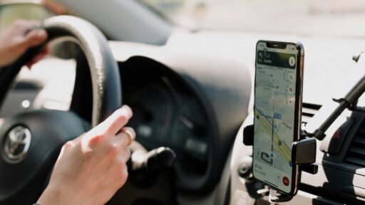
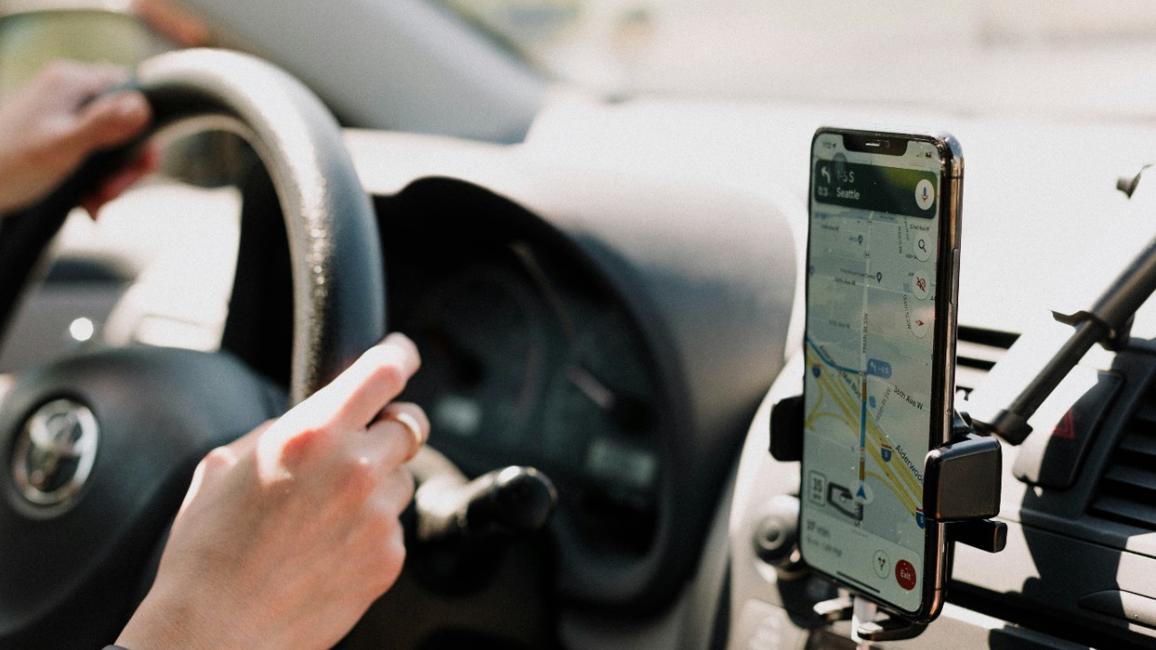

Google Maps has made walking through an unfamiliar city remarkably simple. A traveller enters a destination, selects the walking icon and immediately receives a route, distance and estimated arrival time. The number often looks precise enough to trust completely: 12 minutes, 27 minutes or perhaps one hour and four minutes.
In ordinary urban conditions, that estimate is usually a useful planning tool. It can help someone decide whether to walk, take public transport or call a taxi. However, the displayed time is still a prediction based on a mapped route and a general walking pace. It cannot fully account for the individual walker, every crossing delay or every temporary obstacle encountered along the way.
The practical answer is that Google Maps walking times are often reasonably accurate for short, straightforward city routes, but their reliability decreases when the route involves steep terrain, crowded streets, complex buildings or incomplete pedestrian data.
How Google Maps Calculates a Walking Time
Google does not publicly provide a simple consumer-facing formula explaining the exact walking speed used for every Maps estimate. Its routing systems calculate a pedestrian route between two locations and return an estimated duration based on the distance and available map information.
The company’s official Routes API documentation explains that Google’s systems can calculate routes and travel durations for walking, driving, cycling, public transport and other travel modes. The service attempts to identify an appropriate route rather than dividing straight-line distance by a fixed speed.
That distinction matters. A destination may be only 500 metres away geographically, but a river, railway line, fenced property or limited crossing point could turn it into a much longer walk. Google Maps tries to follow known pedestrian-accessible roads, paths, bridges, crossings and entrances.
Research involving healthy adults found that a usual outdoor walking pace averaged approximately 1.31 metres per second. That equals about 4.7 kilometres per hour or 2.9 miles per hour, although actual speeds varied across individuals and conditions. This general pace helps explain why a one-mile urban walk is frequently estimated at roughly 20 minutes.
Google has not clearly confirmed that every walking ETA uses this exact speed, so the figure should be treated as a useful comparison rather than the company’s official universal formula.
Why the Estimate Often Feels Accurate
Walking speeds are relatively predictable when the environment is simple. On a flat pavement with few interruptions, many healthy adults naturally move at a pace close to the average used in pedestrian planning.
The estimate becomes especially dependable when the route is short, familiar and supported by detailed map data. A ten-minute walk through a quiet residential area leaves relatively little time for delays to accumulate. Even when the walker is slightly faster or slower than the assumed pace, the difference may be only one or two minutes.
Google Maps is also effective at recognising that pedestrians can sometimes take routes unavailable to cars. These may include footpaths, pedestrian bridges, alleys, park walkways and passages between streets. Selecting walking mode is therefore important because a driving route can produce an unnecessarily long or unsuitable pedestrian journey.
However, Google’s own documentation warns that walking routes may contain incomplete information about sidewalks or pedestrian paths. The walking mode in the Maps Platform Routes API remains identified as a beta feature, and developers are required to warn users that routes can occasionally lack clear pedestrian infrastructure.
The estimate may look precise, but the underlying route is only as reliable as the available mapping data.
The Walker’s Natural Pace Can Change Everything
The greatest variable is often the person using the route.
A fast walker may consistently arrive earlier than Google predicts. A slower walker, an older adult, a parent with children or someone carrying luggage may need considerably more time. Mobility limitations, footwear, fitness, fatigue and weather can also change walking speed.
A route estimated at 30 minutes assumes relatively continuous movement. If one person naturally walks 20 percent slower than the assumed pace, the same journey could take closer to 36 minutes before any additional delays are considered.
This does not necessarily mean Google’s prediction is inaccurate. It means the displayed time represents a general estimate rather than a personalised promise. Google does not clearly document that ordinary Maps walking ETAs automatically learn and apply each individual user’s historical walking pace.
An earlier academic evaluation of pedestrian navigation applications found that major mapping systems generally predicted walking times without learning from an individual’s movement profile. The study also identified missing information about pedestrian crossings as a source of error. Mapping technology has evolved since that research was published, but Google’s current public documentation still does not describe a fully personalised walking-speed adjustment for consumer ETAs.
A regular user can create a practical personal adjustment by comparing several predicted journeys with actual arrival times. Someone who repeatedly takes 24 minutes for routes Google estimates at 20 minutes can begin adding approximately 20 percent to future walking ETAs.
Crossings and Crowds Create Hidden Delays
Google Maps can estimate how long it takes to move along a route, but urban walking is not always continuous.
A pedestrian may wait through several traffic-light cycles, navigate a crowded station entrance or slow down on a busy shopping street. Construction barriers may force a detour that has not yet appeared on the map. Security checks, road closures and temporary event restrictions can add further delays.
These interruptions matter more on short routes than they initially appear to. Waiting two minutes at two major crossings adds four minutes to a journey. On a route Google estimated at 12 minutes, that represents a substantial increase.
Crowd density is particularly difficult to predict. A path through a business district may be clear on Sunday morning and heavily congested during the weekday commute. The mapped distance remains the same, but the realistic travel time changes.
Driving ETAs can incorporate live traffic conditions, but pedestrian movement is harder to measure at the same scale. Google’s traffic documentation focuses on traffic-aware calculations for road travel rather than promising equivalent real-time pedestrian congestion modelling.
Hills, Stairs and Surface Conditions Reduce Reliability
A flat kilometre and a steep kilometre are not equal walking tasks.
Inclines require more effort and usually reduce speed, especially when they continue for a long distance. Stairs, uneven paving, snow, mud and loose surfaces can produce similar effects. Descents may also slow a pedestrian when they are steep, slippery or crowded.
Google Maps may recognise some elevation and pathway characteristics, but it should not be treated as a specialised hiking or accessibility tool. The company’s routing documentation acknowledges that pedestrian-path information can be incomplete. This limitation becomes more important outside dense urban areas, where paths may be poorly mapped or unsuitable despite appearing as valid connections.
For an ordinary walk across central London, Manhattan or Singapore, the ETA may be close. For a mountain trail, coastal path or steep rural route, the same level of confidence would be inappropriate. Dedicated hiking maps, official trail information and local safety guidance are better suited to routes where elevation, terrain and weather strongly affect travel time.
Indoor Destinations Can Add Unexpected Minutes
Google Maps may successfully guide a traveller to the correct building while still underestimating the time required to reach the actual destination.
A large hospital, shopping centre, university campus, airport or office complex can involve several additional minutes after the mapped arrival point. The pedestrian may need to locate the correct entrance, pass through security, wait for a lift or walk through long internal corridors.
The destination pin may also be attached to the centre of a building or the wrong side of a large property. A venue surrounded by fencing could require access from a specific gate even when another side appears geographically closer.
This is why an estimated arrival at a building should not always be treated as an arrival at an appointment. Someone attending an interview, medical consultation or airport check-in may need a separate buffer after reaching the address.
Weather Can Make the Same Route Much Slower
Rain, extreme heat, strong wind, snow and ice can all affect walking speed.
A pedestrian may take shorter steps on slippery ground, pause under shelter during heavy rain or slow down to avoid overheating. Umbrellas, wet pavements and reduced visibility can also make crowded streets more difficult to navigate.
The Mayo Clinic’s walking guidance recommends considering appropriate footwear, route safety and weather when planning a walk. These factors influence not only comfort but also how closely actual travel time matches a digital prediction.
Google Maps may display weather information in some contexts, but the walking ETA should not be assumed to include every real-time effect of rain, heat or surface conditions.
How Much Extra Time Should Be Added?
For a straightforward urban walk, adding a small margin is usually enough. A five-minute buffer can protect against a slow crossing, a slightly misplaced entrance or an unfamiliar junction.
Longer journeys require more flexibility because small differences accumulate. A person who walks slightly below the assumed pace may lose only two minutes on a short route but ten or fifteen minutes during a one-hour walk.
Time-sensitive journeys deserve a larger margin. Arriving for a train, flight, interview, medical appointment or ticketed event should not depend on the most optimistic version of a walking estimate. Additional time should be allowed for navigation mistakes, security procedures and finding the correct entrance.
The most accurate adjustment comes from personal experience. After several walks, a traveller can usually determine whether Google Maps tends to overestimate or underestimate that individual’s normal pace.
Google Maps Is a Guide, Not a Stopwatch
Google Maps walking estimates are generally credible when the route is short, urban, relatively flat and supported by complete pedestrian data. They become less dependable when personal pace, hills, crowds, crossings, weather or complex access points play a major role.
The displayed time should therefore be read as a useful baseline. It answers how long a typical continuous walk along the suggested route may take. It does not guarantee how long every individual will need under real-world conditions.
For casual journeys, the estimate may be close enough to use without concern. For important appointments or unfamiliar environments, a sensible buffer remains essential. Google Maps can identify the path, but the final arrival time still depends on the person, the surroundings and what happens between the starting point and the destination.