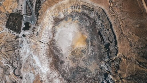
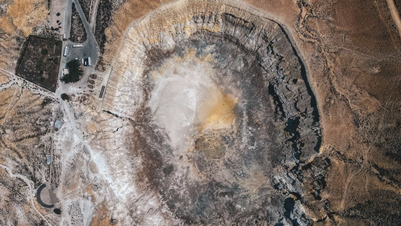

Most people open Google Maps because they are trying to find a restaurant, plan a road trip, or work out where a hiking trail begins. Canadian amateur astronomer Joël Lapointe was doing something similarly ordinary when he noticed a strange circular formation in the remote wilderness of Quebec.
It did not look like an ordinary lake basin.
The enormous ring-shaped depression immediately caught his attention, and what began as casual route planning eventually led scientists to identify a previously unrecognized meteorite impact structure roughly 25 kilometres, or 15.5 miles, across. Researchers now estimate that the impact occurred about 390 million years ago, during the Devonian Period.
The discovery is remarkable not simply because of the crater’s age or size. It shows that even in an era of satellites, geological surveys and sophisticated mapping technologies, enormous features of Earth’s history can still remain hidden in plain sight.
A Camping Search Turned Into a Geological Mystery
Lapointe was studying the Côte-Nord region of Quebec on Google Maps while planning an outdoor trip when he noticed the unusual circular landscape surrounding Lake Marsal. The formation appeared too symmetrical to ignore.
He was also an amateur astronomer, so impact craters were not completely unfamiliar to him. Instead of dismissing the shape as an unusual mountain formation, he investigated further and realized that the site did not appear in established lists of confirmed meteorite craters.
That was when an everyday digital observation became a scientific question.
The terrain could be examined through tools such as Google Maps, but satellite imagery alone could never prove that a meteorite had created it. Circular geological structures can form through volcanic activity, erosion, tectonic processes and other mechanisms.
Lapointe therefore contacted scientists who could evaluate whether the feature deserved further investigation.
What they found eventually transformed the strange circle on his computer screen into an important geological discovery.
Scientists Could Not Confirm It From Space Alone
A crater-shaped structure is not automatically an impact crater.
That distinction matters because Earth is an extremely active planet. Wind, water, glaciers, sedimentation and plate tectonics continuously alter its surface. Ancient volcanic structures and eroded geological formations can sometimes resemble impact sites when viewed from above.
Researchers consequently needed physical evidence.
Initial samples and geological observations suggested that the Quebec formation could indeed have experienced the extraordinary pressures associated with a cosmic collision. That possibility encouraged a more demanding expedition into the remote region.
In October 2025, planetary geologist Gordon Osinski and other researchers conducted field investigations at the site. The journey was difficult because the crater lies within isolated Canadian wilderness rather than beside convenient roads or developed infrastructure.
The expedition produced exactly the type of evidence scientists were hoping to find.
The Rocks Contained Evidence of a Violent Impact
Meteorites striking Earth at enormous velocities generate pressures and temperatures that ordinary geological processes cannot easily reproduce.
One of the most important indicators is a structure called a shatter cone.
Shatter cones are distinctive fracture patterns produced when rock experiences extreme shock pressure. Their presence can provide strong evidence that an impact event occurred.
Researchers found shatter cones at the Quebec site, along with impact melt rock and other evidence of shock metamorphism. Those discoveries substantially strengthened the conclusion that the enormous circular structure was not simply an unusual geological basin.
Anyone interested in how scientists distinguish genuine impact structures from look-alikes can explore the Earth Impact Database, which catalogues recognized impact structures and illustrates how rare confirmed sites actually are.
The Quebec discovery became especially significant because of its scale.
At roughly 25 kilometres across, it is far larger than the stereotypical bowl-shaped crater many people imagine when thinking about meteorite impacts.
The Impact Happened Before Dinosaurs Existed
Researchers estimate that the crater formed around 390 million years ago.
That places the event in the Devonian Period, an extraordinary chapter of Earth’s history when life was undergoing major evolutionary changes and long before dinosaurs appeared.
The landscape visible today therefore represents only a heavily modified remnant of the original collision.
Over hundreds of millions of years, erosion, weathering and geological processes gradually softened the crater’s original appearance. What may once have been a dramatic impact scar became part of the surrounding terrain.
That helps explain why nobody simply walked past the site and immediately declared it a meteorite crater.
The structure was enormous, but its age had disguised it.
Modern satellite mapping effectively changed the viewing angle. Instead of studying individual rocks from ground level, Lapointe could examine an entire landscape from above. A circular pattern spanning kilometres suddenly became easier to recognize.
The Crater Has Been Given the Name Uhaachatik
The impact structure is now known as the Uhaachatik Crater, with the name selected in consultation with the Innu Council of Ekuanitshit, whose traditional territory includes the area. Some mapping services have displayed a variant spelling, “Uhackatik.”
Naming a geological structure is more than a cosmetic decision.
It gives researchers a consistent way to identify the location in scientific discussions, conference presentations and future research. It can also acknowledge the cultural and geographical context of the land on which the discovery was made.
Scientists are continuing to investigate the crater’s rocks, chemistry and geological history to better understand both the impact itself and what happened to the surrounding environment afterward.
Organizations such as The Planetary Society regularly cover planetary impacts and crater science, helping connect discoveries on Earth with the broader study of asteroids, meteorites and planetary evolution.
Why Are So Few Meteorite Craters Visible on Earth?
Earth has been struck by space objects throughout its history, so it might seem surprising that only a relatively small number of impact structures have been confirmed.
The reason is that Earth continually remodels its surface.
Oceans cover most of the planet. Tectonic plates destroy and recycle crust. Rivers cut valleys through old landscapes. Glaciers scrape surfaces away. Sediments bury geological formations, while vegetation can conceal them from ordinary observation.
The result is very different from the Moon.
A lunar crater can remain recognizable for immense periods because the Moon lacks Earth’s weather, oceans and active plate tectonics. On Earth, the evidence is frequently erased or deeply altered.
That is why geological confirmation matters so much.
NASA’s resources on asteroids, comets and planetary defense also show why studying historic impact events remains relevant. Ancient craters provide researchers with natural records of collisions that help them understand how impact events work and what consequences large objects can produce.
Google Maps Is Becoming an Unexpected Scientific Tool
Lapointe’s discovery also demonstrates how satellite imagery has changed who can observe Earth’s large-scale geography.
A person no longer needs access to a government reconnaissance satellite or a specialized research institution simply to examine unusual landforms from above.
Tools such as Google Maps and Google Earth allow millions of people to explore mountains, deserts, coastlines and remote wilderness at resolutions that earlier generations could scarcely access.
This does not mean that anyone who sees a circle on satellite imagery has discovered an impact crater.
Scientific confirmation still requires field observations, laboratory analysis and geological expertise. But digital mapping can identify places worth investigating.
There is precedent for this. Other possible or confirmed impact structures have attracted scientific attention after being noticed through satellite imagery, including Australia’s Hickman crater, which was discovered by chance while a geologist was browsing Google Earth.
The technology therefore creates an unusual partnership between professional science and public curiosity.
An Ancient Cosmic Collision Was Hiding on an Everyday Screen
The most surprising part of the Uhaachatik discovery may be how casually the story began.
Lapointe was not commanding a satellite mission. He was not drilling through kilometres of rock. He was looking at an ordinary digital map while considering where to travel.
A strange circular feature made him curious.
That curiosity led to scientists, geological samples, a difficult field expedition and evidence of an impact that occurred hundreds of millions of years before humans existed.
For approximately 390 million years, erosion gradually transformed the crater while generations of geological history unfolded above and around it.
Then someone zoomed in.
The discovery is a reminder that humanity’s maps may be extraordinarily detailed, but they are not the same thing as complete understanding. Sometimes the landscape has already revealed the evidence.
Someone simply has to notice it.